My Neighborhood Photo Safari Map
A great way to teach kids about their neighborhood and community is to get out there and explore! Ask your kids: What makes up our neighborhood? How is our neighborhood unique? I was inspired by this theme to create a photo safari map of our neighborhood with my son. For this photo safari map, we took a walk around our neighborhood to see what places make up the area we live in. We brought along our camera to snap some photos for our neighborhood map. Instead of just having my son draw our neighborhood or make a collage, I wanted to use photos of real places around us that make up our community.
Materials Needed:
camera
large sheet of white paper or posterboard
black paper for the roads
other colors of paper to add extra items to your map
glue & scissors
(optional) stickers- cars, plants or other items you might find around a neighborhood
Instructions:
To get started, walk around your neighborhood and take pictures of the places you visit often, or really represent your area. You could include your home, nearby playground, shopping area, church, school or anything else your kid wants for their map!
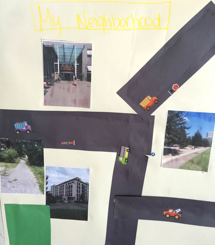
Print the photos out to use on your map. We used four photos, but you can do more or less depending on how many you take on your safari walk! You can print them at home if you have a printer, or take them to a photo printing booth to print. The booths where you print your ID card photos can also be used to print photos from your camera or phone!
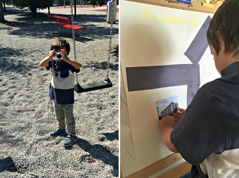
Cut the black paper into strips to make the “roads.” Cut the other colors of paper for other parts of your map, such as green strips for grass or various sizes of rectangles to make extra buildings to go along with your photos.
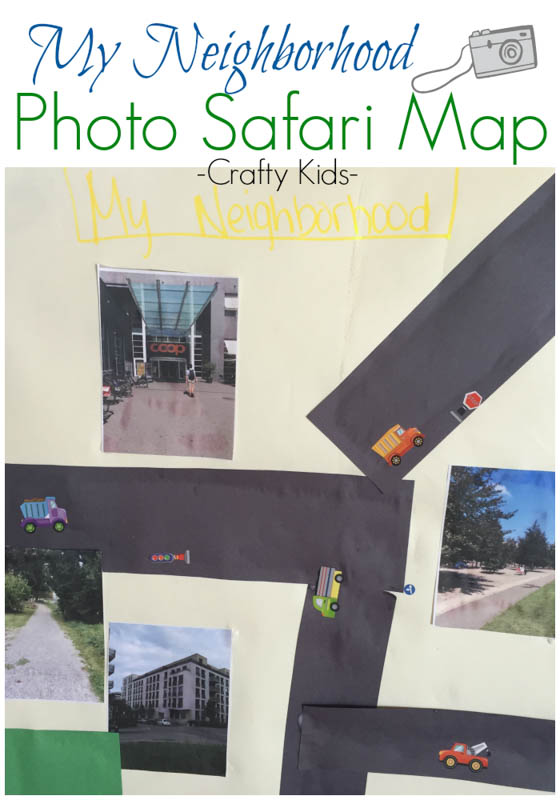
Allow your kid to glue the pieces of the map together to make their neighborhood on the large sheet of paper. We did the roads first, then the photos of our neighborhood. You can also add the stickers or other materials to make your map more interesting. You can let your kid make up their own “neighborhood,” or guide them to create a similar map to where you actually live. It’s really up to you; be creative!
What places would you include on your neighborhood photo safari map?
By Rachel Blate
Rachel is a lifestyle blogger with a blog focused on travel, kids activities and life as an expat. Originally from the US, she currently lives in Zurich with her husband and 3 year old son. Find her blog at My Mini Adventurer and follow her on Facebook and Instagram.


What a great idea for craft project. The weather’s just right for this kind of thing just now too 🙂
Thanks Claire!
Hi Rachel,
This is a really cool idea! One of the local teachers here has her students in grade 2 create a very similar map with the homes of all the children and then they go for a walk and pass by each home. This is really helpful also for young children that are walking to and from school on their own (which is so common here!) – great way to boost a sense of direction and capability.
That’s a great idea!
Love this so much! Perfect thing to do for our kids’ walk to kindergarten — It is not far, but a bit of a ‘wiggly way’, as my 4 year old calls it. It would be great to signpost all the things they go past, with a picture of his kindergarten at the end 🙂 I am definitely going to do this!
That’s a perfect way to incorporate this activity!
This is such a great idea. Kids LOOOOOOVE taking pictures.
Thanks! Yes my son loves using the camera and taking a bunch of pictures of nothing! 😉
Fun idea Rachel – I definitely want to do this with my kids!
Thanks Stacy! Let me know how it turns out!